
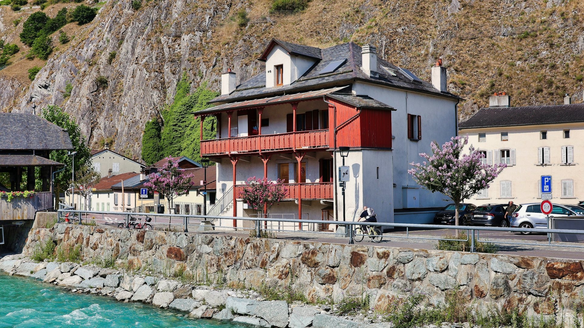
At a viewing, buyers look at the light, the renovation and the neighbours. Very few ask whether the street has flooded, whether the slope below the house is a registered landslide, or what standards the building was designed to. Yet these are exactly the risks that are hardest to fix after you have bought.
The good news: much of the checking can be done remotely and at no cost, if you know where to look.
Under the EU Floods Directive (2007/60/EC), Bulgaria assesses flood risk in six-year cycles. For each of the four river basin districts — Danube, Black Sea, East Aegean and West Aegean — the basin directorate identifies areas of significant potential flood risk, draws up hazard and risk maps, and adopts a Flood Risk Management Plan. The current plan covers 2022–2027; the next one, for 2028–2033, is being prepared.
The maps show which land would be flooded under scenarios of different probability. A property in such an area is not automatically one to avoid — but you should know what you are buying.
An example of why it matters. In the draft preliminary assessment for the Black Sea district (June 2026), the number of significant-risk areas is 37, of which 3 are new — up from 34 in the current plan. Among the significant recent floods it describes are those of 5 September 2023 in Tsarevo municipality (Lozenets, Fazanovo, Velika) and Kiten, and of 3 October 2025 in Elenite, Sveti Vlas, Marinka and Chengene Skele. Several of these places are popular for holiday homes.
What to do:
Landslide areas are entered in a register that the Ministry of Regional Development maintains through the state geo-protection companies (Art. 95(2) of the Spatial Planning Act, ЗУТ). There are three — Geozashtita Varna, Pernik and Pleven — and each publishes a map of the landslides in its area.
An analysis of the three registers in May 2026 counted around 2,273 landslides, roughly 40% of them marked as active (indicative). The best-known zones are along the Black Sea coast, but landslides also occur inland.
Why this matters to a buyer:
Bulgaria is a seismically active country, so for any building it matters what standards it was designed to and how it has been maintained.
Natural hazards are transferred to an insurer — they do not disappear. Earthquake cover is often an add-on rather than part of the standard policy, and flood from a natural disaster is treated differently from water damage from a neighbour. Read exactly which risks are included before you rely on the policy. More detail in our guide to home insurance.
A natural hazard is not necessarily a reason to walk away. It is a reason to:
Floods, landslides and earthquakes do not show up in listing photos. Checking for them is not complicated, though: public maps and registers, a careful viewing and the right questions. Done before you pay a deposit, it gives you arguments in the negotiation and peace of mind after the deal.
If you like a property by a river, on a slope or on the coast and want to know what risks come with it, call us or visit our office. We will go through the maps, the documents and the site with you.
Information verified as of October 2026. The number of risk areas and registered landslides changes with every update of the plans and registers and is indicative. This article does not replace an engineering-geological or structural survey.
