Bulgaria's cadastre agency adds restriction zones and easements to the cadastral map: what it means for property owners and buyers
Bulgaria's Geodesy, Cartography and Cadastre Agency (AGKK) is introducing a function in its cadastral information system, KAIS, that allows restriction zones, including easement (servitude) zones, to be entered and maintained in the cadastral map and registers. The agency announced it on 29 October 2026. The basis is a new cadastral data-exchange format, approved by an order of the agency's executive director dated 27 October 2026.
What is changing
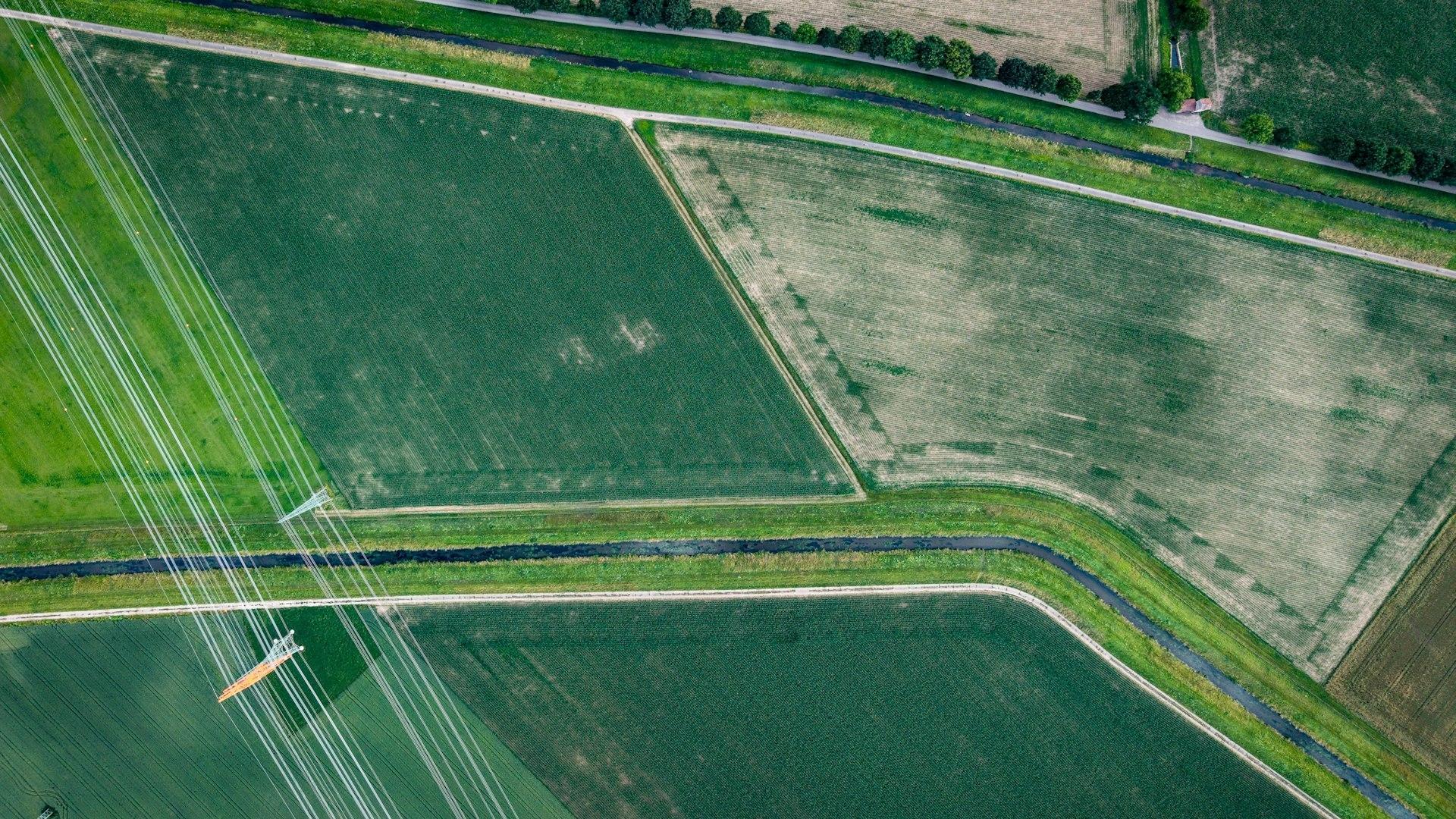
Until now the cadastral map has mainly shown property boundaries, buildings and the individual units within them. The strip around a power line or gas pipeline, where building and use are restricted, was usually not visible on the cadastral sketch. The new function creates the technical means for this information to appear alongside the cadastral data.
According to AGKK, this is a first step. Over time the system may also cover data on underground and overhead networks — power lines, gas pipelines, water mains, sewers, electronic communications networks and other technical infrastructure. Executive director Eng. Georgi Georgiev said that, for the first time, there is a real technical way to show types of easement and restriction zones in the cadastre. The long-term aim is for designers, builders, municipalities and utility operators to find fuller information about an area in one place.
What is NOT changing
The agency stresses three points that matter to every owner:
- AGKK does not create or impose restrictions. Easements and other zones arise under the relevant laws. The cadastre only records them.
- Entering a zone does not change ownership and adds no new restrictions. If the strip exists, it already exists — it will simply become visible.
- Not all zones are in yet. Data will be added in stages, based on information from the competent authorities and bodies. In other words, if you see no zone in the cadastre, that does not yet mean there is none.
Once a zone is entered, owners and buyers will be able to see whether the property, or part of it, falls within it, what type of restriction it is and on what legal basis it arose.
Why this matters to buyers
A utility easement is often discovered late — when the architect starts designing the house, or when the bank's valuer notes that a power line crosses the plot. In our guide to power-line, gas and water easements we explained how these strips arise and what you can and cannot do in them, and in our article on easements and rights of way how to look for them before you buy.
The new KAIS function will make that check quicker once the data for a given area has been entered. It adds to the public orthophoto map that AGKK launched in KAIS a week earlier, which lets you compare the cadastre with what is actually on the ground.
What to do now
If you are buying a plot or a house. While zones are being entered in stages, the checks remain the same as before:
- get an up-to-date cadastral sketch and compare it with the site and with the orthophoto map;
- check the Property Register for any registered easements on the property;
- look for poles, manholes and markers for underground cables and pipes;
- if in doubt, ask the relevant utility operator — the electricity distributor, gas company or water utility;
- check the detailed development plan in force and what it allows on that specific plot.
If you are selling. If you know a network crosses the property, say so early and have the available documents ready. A buyer who finds the strip on their own usually asks for a discount or walks away. It is also worth checking that the property's cadastral data are accurate — we covered how an error in the cadastral map is corrected separately.
If you own land and plan to build. An easement strip can limit where and what you can build. Discuss with your architect at the outset whether the property is affected, rather than waiting for the zone to appear in the cadastre.
In brief
- By an order of 27 October 2026, AGKK approved a new cadastral data-exchange format that allows restriction zones and easements to be entered in KAIS.
- It is a first step; networks — power, gas, water, sewerage, communications — may be added in future.
- Entering a zone does not change ownership or create new restrictions.
- Zones will be added in stages — the absence of a zone in the cadastre does not yet mean the property is free of restrictions.
Buying or selling a property and not sure whether a network runs across it? Call us or visit our office — we will help you carry out the necessary checks before the deal.
Source: Geodesy, Cartography and Cadastre Agency (announcement of 29.10.2026). This information is general and is not legal or financial advice.