Bulgaria's cadastre agency opens public access to an up-to-date orthophoto map of the whole country: how to compare the cadastre with what is on the ground
Bulgaria's Geodesy, Cartography and Cadastre Agency (AGKK) has opened public access to an up-to-date digital orthophoto map of the whole country. Since 21 October it has been available as a base map in KAIS, the agency's e-services portal, the agency announced.
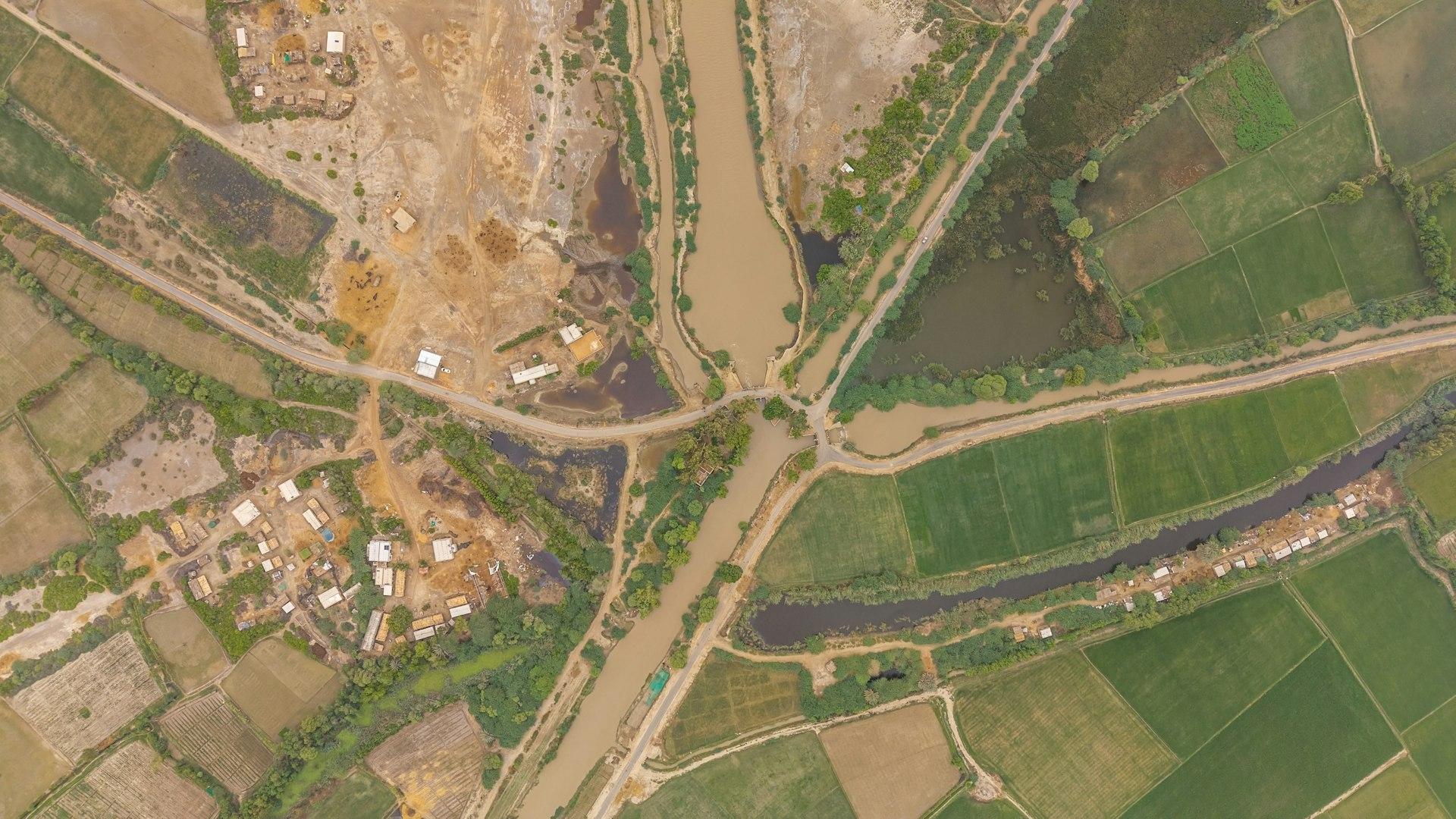
An orthophoto map is made from aerial photographs processed so that they line up with the map. In practice, anyone can now open the cadastral map and see an image of the ground underneath it – buildings, fences, roads, yards.
What is new
- The new layer covers the whole country. The images come from aerial surveys flown in 2023–2025; the material was handed to AGKK in March 2026.
- The orthophoto map is produced and updated by the Ministry of Agriculture and Food and supplied to AGKK under the cooperation between the two institutions.
- Older imagery from 2011, 2019 and 2022 is already available in the portal, so you can compare how a piece of land has changed over the years.
- The layer sits among the information layers of the KAIS map (kais.cadastre.bg).
"The ability to track changes over the years is a useful tool for both the administration and citizens," said AGKK executive director Eng. Georgi Georgiev. According to the agency, the feature will also help identify changes and discrepancies for follow-up checks by the competent authorities.
What it means for you
If you are buying. Before you pay a deposit, open the property in KAIS and switch on the orthophoto layer. Compare:
- Buildings. Does the image show structures that are missing from the cadastral map – an extension, a garage, a second house in the yard? Or the reverse – a building in the cadastre that no longer exists on the ground? Any such mismatch is a question for the seller and for your lawyer.
- Fences and boundaries. Does the fence run where the cadastral boundary is? If it cuts into the neighbouring plot, or the neighbour's fence cuts into yours, this needs to be resolved before the deal.
- Access. Is there a real road to the property, or does access cross someone else's land? This matters especially when buying a plot to build a house.
- History. With the 2011, 2019 and 2022 images you can see roughly when something was built – useful when questions arise about whether a structure is legal.
If you are selling. Run the same check on your own property. Buyers can now spot mismatches easily, so it is better to find them yourself and fix them in advance. We explain how a cadastral error is corrected in a separate guide.
What an orthophoto is not
The image is useful for a first look, but it is not a document. It does not prove ownership, does not replace the cadastral sketch and does not show precise boundaries. And the newest images date from 2023–2025, so changes after the survey will not be visible. If you find a mismatch, the next step is a surveyor and a lawyer, not conclusions drawn from a photo. The orthophoto check supplements the legal checks before buying; it does not replace them.
In brief
- Since 21 October, AGKK offers a public orthophoto map of the whole country in KAIS.
- The images date from 2023–2025; imagery from 2011, 2019 and 2022 is also available.
- You can compare the cadastral map with actual buildings, fences and roads.
- The image is not a document – if something does not match, talk to a surveyor and a lawyer.
Give us a call
If you are buying or selling a property and want us to check that the documents, the cadastre and the situation on the ground match, call us or visit our office.
Source: Geodesy, Cartography and Cadastre Agency (AGKK). The information is general and is not legal or financial advice.